Seamless VisiCharts in members area
New addition for MEMBERS only: Seamless VisiCharts with variable transparency. Perfect for planning..
Now seamless..all UK, Ireland, Belgium, Netherlands, Spain and Portugal waters.
Anyone who has entered a new harbour, river, bay or anchorage using normal charts will know the problems. You study the chart and try to get a picture in your head of what you are going into. The trouble is, reality often does not match that mental picture...perhaps you're picturing a narrow stream of navigable water (as shown on the chart), and you're met with a huge watery expanse... Now WHERE IS that buoyage ??
Maybe everything looks spacious on the chart, but as you nose in you realise it's a tiny little place with no room to turn, and cluttered up with moored boats....you've misjudged the scale of the place. Or possibly you have not realised the size and frequency of the shipping using an approach channel and harbour...you could have an unpleasant surprise waiting.
You're snugly anchored somewhere and simply wondering if it's worth the effort to go ashore... will there be anything there nearby or is it deserted ?
At last there is now a way to truly see exactly what you are taking your boat into, as VisiCharts combine the power of Google Earthtm satellite imagery and charts combined.
The combination composite image gives you the ability to truly visualise where you are going, and see what you are likely to find once you arrive, afloat and ashore.
Notes:
Members only
Seamless version with latest charts.. huge advance on the individual ones available before.
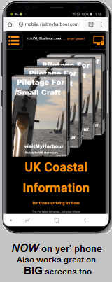
PCs and Macs not for Mobile devices (similar thing but map based coming for mobile devices)
You need Google Earth already installed on your machine. You can get the PRO version free now LOOK
Other areas may be added for 2019..eg US, Brazil, New Zeland
Article Info