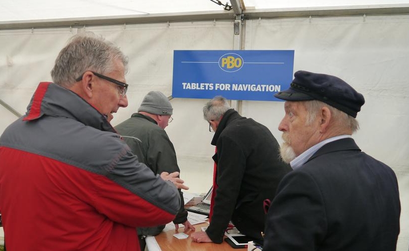
PBO Ask the Experts at Beaulieu
VisitMyHarbour's Steve Bryant and harbour research man Don Thomson were asked by PBO to be their "Experts" on the subject of Navigating on a Tablet
(Credits: All photos on this page provided by PBO)
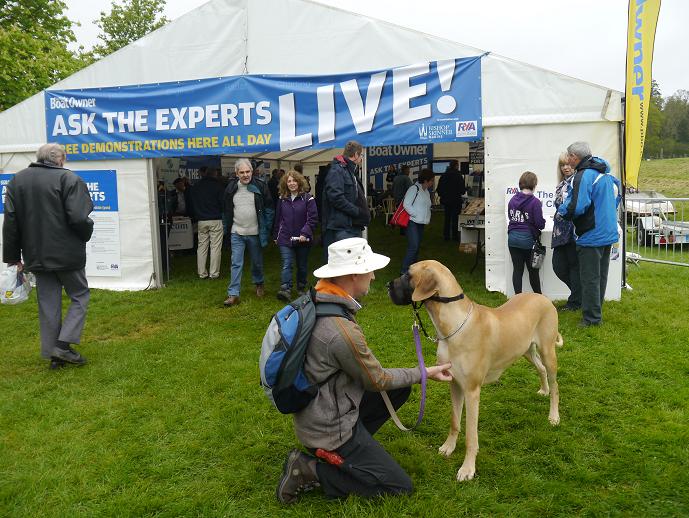
The event took place at the Beaulieu Boat Jumble 26th April 2015...
Well, the weather wasn't that bad and the event was well attended. In fact it was a very enjoyable day, being able to meet so many of you face to face. We dealt with enquiries all day, demonstrated a batch of our Samsungs with charts loaded, and demonstrated vividly the difference between vector and raster electronic charts.
VisitMyHarbour research man... Don Thomson, above
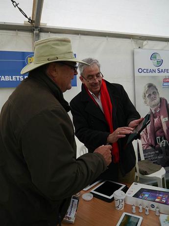
Steve Bryant demonstrates a Windows 8.1 tablet.
For those considering a fully networked system as opposed to a stand alone phone/tablet....
The Windows 8.1 tablets are FAR more capable than ipads or Androids. These are full blown PCs in small power saving format. They can hapilly run powerful legacy software such as OpenCPN, Polar Navy, SeaClear, and specialist racing software such as Expedition.
The Linx 10" above runs on 5v (2 amp max). It can be networked easily using USB connections. W 8.1 is an eye opener...It powers up from cold in 15 sec. This one cost me less that £160 !
.
.
.
.
..
.
.
.
.
.
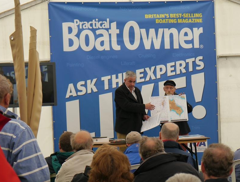
So, here are Steve and Don on stage ...giving a 20 min presentation in the PBO Marquee at Beaulieu
The main points we tried to get across were:
FOR using a tablet (on a small boat)
Small, light, portable. Take it home with you. Self contained.
Fast start up from cold
Built in GPS (Most but NOT all. Ipads...only those with a SIM card have GPS. Androids..most have GPS)
Long battery life
Often 5v charging via USB and cigar lighter plug
Low power consumption
Apps and charts often very cheap
Can be used simply as consumer tablet at home...multi functions
Against...negative points when used on small boats...
Device:
Not marinised, nor waterproof. Fragile, one accident and you've lost your plotter...
Not daylight/sunlight useable...need shade
Easily stolen while ashore in pub, etc.
In practice devices don't seem to last that long before requiring replacement.
Sometimes don't have much storage space
Infrastructure:
Tied to Apple or Google infrastructures.
OS and apps update sometimes outside of your control
Can lead to unwanted problems with your device and/or apps and charts
Good things to have in an app/chart combination
Good route planning ability with the ability to move waypoints easily.
Ability to import/export complex routes
Courses, bearings, ETAs for route points
Visible Lat/Lon, GOC, SOG
Show GPS satellite signal strengths for reliability of position
Easy to see (and accurate) tidal streams if possible
Responsive phone/email help if having problems
The ability to get charts for different areas
The ability to import and use your own charts if you have them.
Choosing app & charts styles (to go on the tablet) Chart styles...raster or vector ?
Vector charts:
Late rendered, seamless and crisp. Smaller storage.
Simpler more schematic layouts.
Can contain more information available by querying it...
Not so good...
Often bears little resemblance to a paper chart
Vital/useful information can be “not obvious”
Sometimes based on non official data..or simply wrong !
Article below gives examples:
/articles/3768/marine-chartplotters-raster-vs-vector-explained
Raster Charts
Drawn by professional cartographers so you see exactly the information required for the chart scale being used.
Familiar... look the same as paper charts
Designed to give the mariner “At a Glance” all the info and warnings he needs... without doing “Queries”
In practice seem to have much better and easy to use information for drying areas
Tend to be using 100% official information
Not so good
Raster image formats require more storage space
Can be “Clunky” in operation, esp when changing charts
Can be made to appear “Seamless”, BUT to do well needs lots of computer power.
Tablet system for larger boat
Larger boats may have various NMEA feeds they want to display on the tablet. AIS, speed depth, wind, etc.
Most apps can't handle external NMEA feeds, and Android and ipads CAN NOT be hard wired
Complicated expensive networking may involve wi-fi routers, etc
Simplest solution is to use Windows 8.1 tablet and hard wire everything via USB connection, Pairing with a Bluetooth GPS enables tablet to be taken in Cockpit if reqd. Or HDMI output to external screen.
Windows tablets are V.Fast start up, low power consumption, easy to arrange charging. Getting cheap too...about £160.
They will run your favourite nav programs really well, touch screen too. OpenCPN, Polar View, SeaClear, Coastal Explorer, Expedition (racing).. virtually any Nav program you run on laptop..you can use on W8.1 tablet. Handle radar overlays, GRIB files, etc
Use separate Windows for different functions (at same time).
In short far more versatile for a big boat system
http://visitmyharbour.download.s3.amazonaws.com/0001-Android-16/VMH-Android_Charts-UK%2BIRL_2015.zip
Article Info
Related articles